
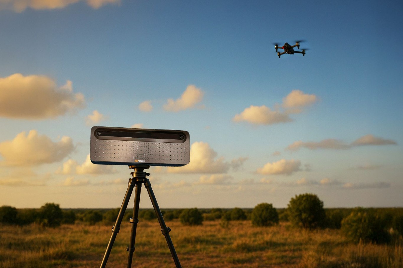
Netline Communications Technologies from Israel, a developer and manufacturer of high-end systems for electronic warfare and tactical spectrum dominance for the armed forces as well as internal security agencies, presents SonicScan. This is a passive acoustic detection system that creates an additional layer for detecting unmanned aerial threats, according to the company. It is intended to be an operable system that provides additional detection capability for a range of UAS threats, including platforms without radio control.
As part of its strategy to broaden its product portfolio, Netline is for the first time stepping beyond radio frequency detection and introducing an additional passive-detection technology. SonicScan is already in operational use and detects airborne threats by analyzing their specific acoustic signatures. The system identifies a wide range of drone types according to the user’s specific requirements.
SonicScan provides precise detection in complex environments
Because it operates independent of radio signals, it enables the detection of drones that are controlled not only by radio but also via alternative methods—such as via fiber optic connections or autonomous flight. As a passive system it enables continuous monitoring without revealing its own location. “SonicScan has proven to be an effective detection solution for fiber-powered FPV drones in challenging deployment environments and enables timely defense and countermeasures,” said Shai Palti, CEO of Netline.
Based on advanced AI-assisted signal processing, SonicScan continuously analyzes the acoustic environment. This improves detection accuracy, distinguishes drone signatures from background noise, and reduces false alarms. The system adapts and is calibrated for optimal performance in different environments. SonicScan is designed for flexible deployment and can be integrated into tracking as well as command and control systems. Equipped with direction-finding capabilities, the system provides precise directional data on detected drones for seamless tracking.
When deployed at multiple sites, it enables geolocation of threats as well as their display on a map. The system architecture allows users to expand the monitoring area and enhance detection performance, ensuring full 360-degree coverage of the deployment area. This flexibility makes it suitable for protecting military bases, border protection missions, critical infrastructure, and other sensitive areas.
